Case studies
Architectural Photomontage| Norwegian Industrial Complex
Th9
The Norwegian Industrial Complex Project Overview
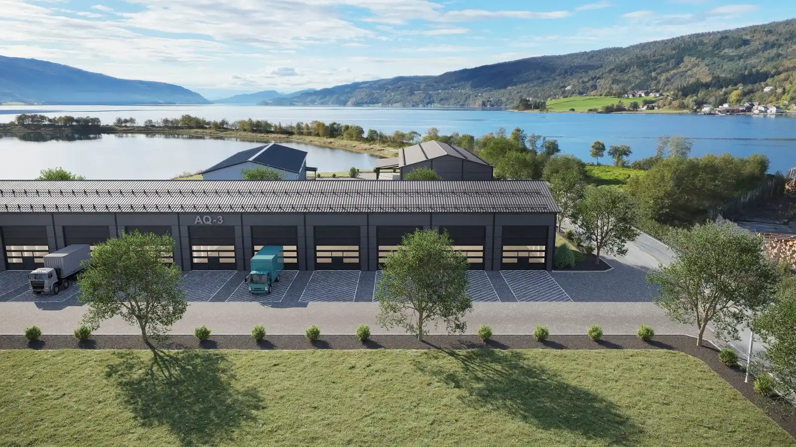
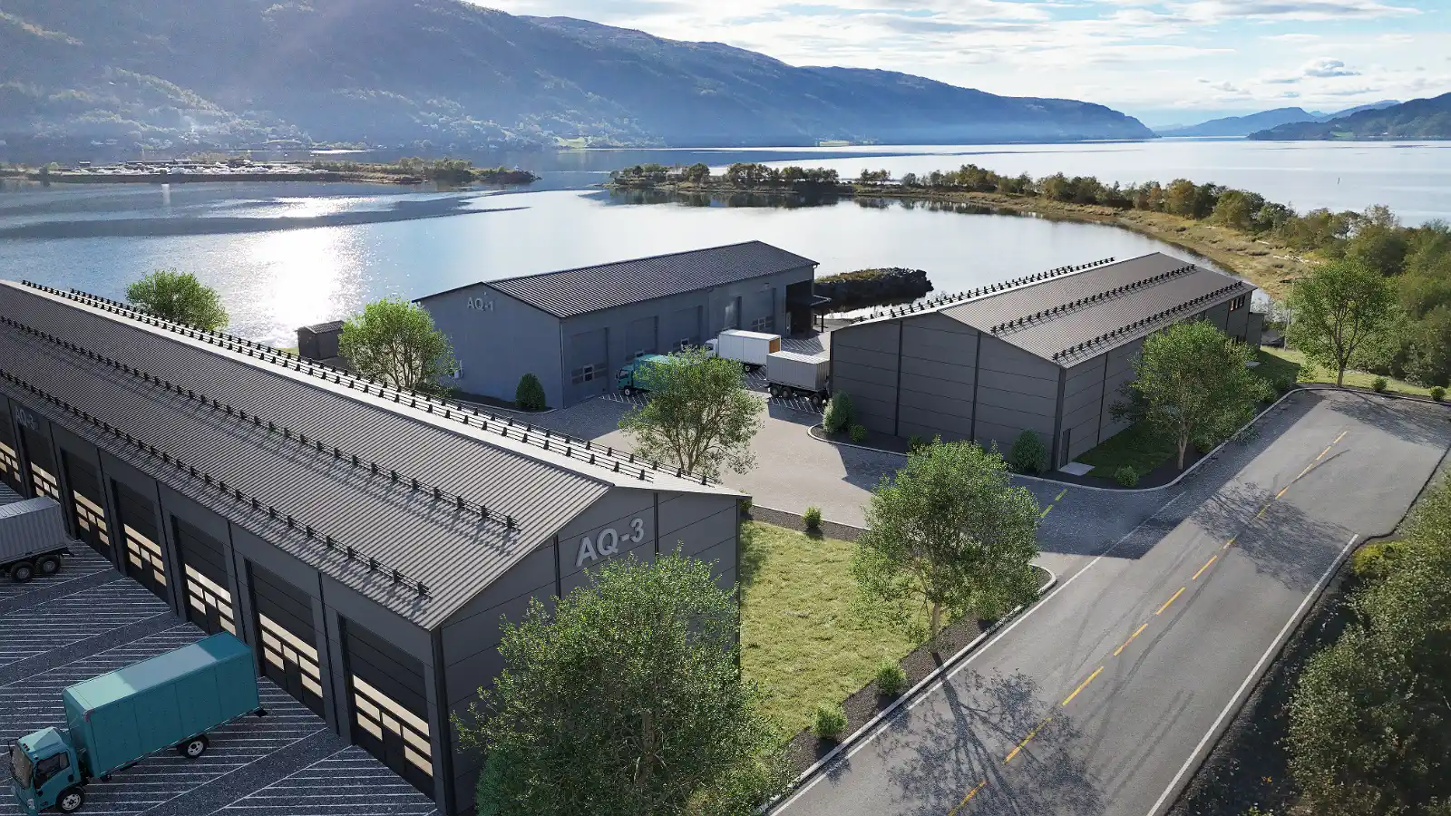
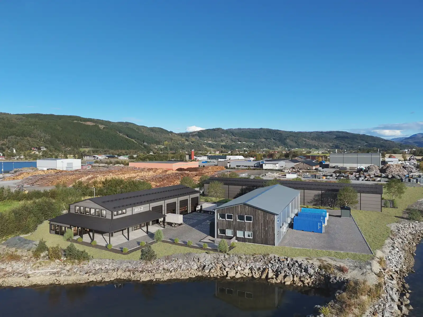
Welcome to our case study of a commercial warehouse project by the Norwegian fjords. This project demonstrates our advanced architectural photomontage technique. We merged unbuilt industrial architecture into live drone photography. The development features large-scale storage units and loading docks. Our goal was to secure municipal zoning approval. We proved that the modern industrial buildings harmonize with the natural landscape.
Industrial Planning and Environmental Integration Challenges
Visualizing large industrial complexes in pristine natural settings introduces unique hurdles.
-
Balancing Scale and Scenery: Large metal warehouses can easily overpower a delicate coastal horizon. The planning board required absolute proof that the massing of structures like AQ-1, AQ-2, and AQ-3 would not disrupt the local ecosystem or aesthetic views.
-
Accurate Site Context Matching: Standard 3D renders placed on a blank white background are insufficient for regulatory committees. Stakeholders needed to see the exact relationship between the gravel yards, incoming transport trucks, and the bordering fjord waters.
Our Architectural Photomontage Approach
To address these regulatory demands, we executed a rigorous architectural photomontage pipeline tailored for large-scale industrial assets.
-
High-Altitude Drone Integration: We utilized high-resolution aerial drone photography captured on-site in Norway as the base plate, ensuring accurate geographical topography, vegetation lines, and water reflections.
-
Precise Environmental Lighting: We matched the sun angle, shadow direction, and color temperature of the 3D warehouse models to the exact weather and daylight conditions present during the drone shoot.
-
Realistic Material Texturing: We applied detailed PBR shaders for dark corrugated metal cladding, industrial roofing, and paved logistics zones to guarantee authentic tactile quality under harsh northern light.
Delivering High-Impact Commercial Assets
The final architectural photomontage package satisfied all municipal requirements. It accelerated the project’s approval phase. By grounding digital models in real-world photography, developers gave local authorities absolute clarity on the visual impact.